Descrição Description
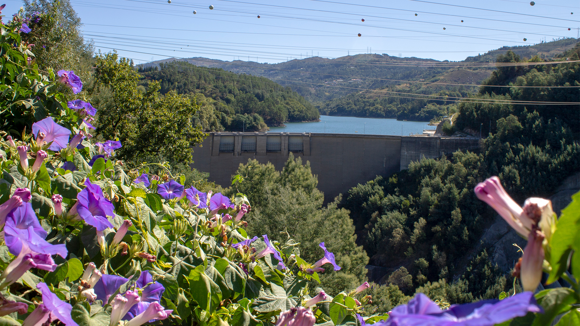
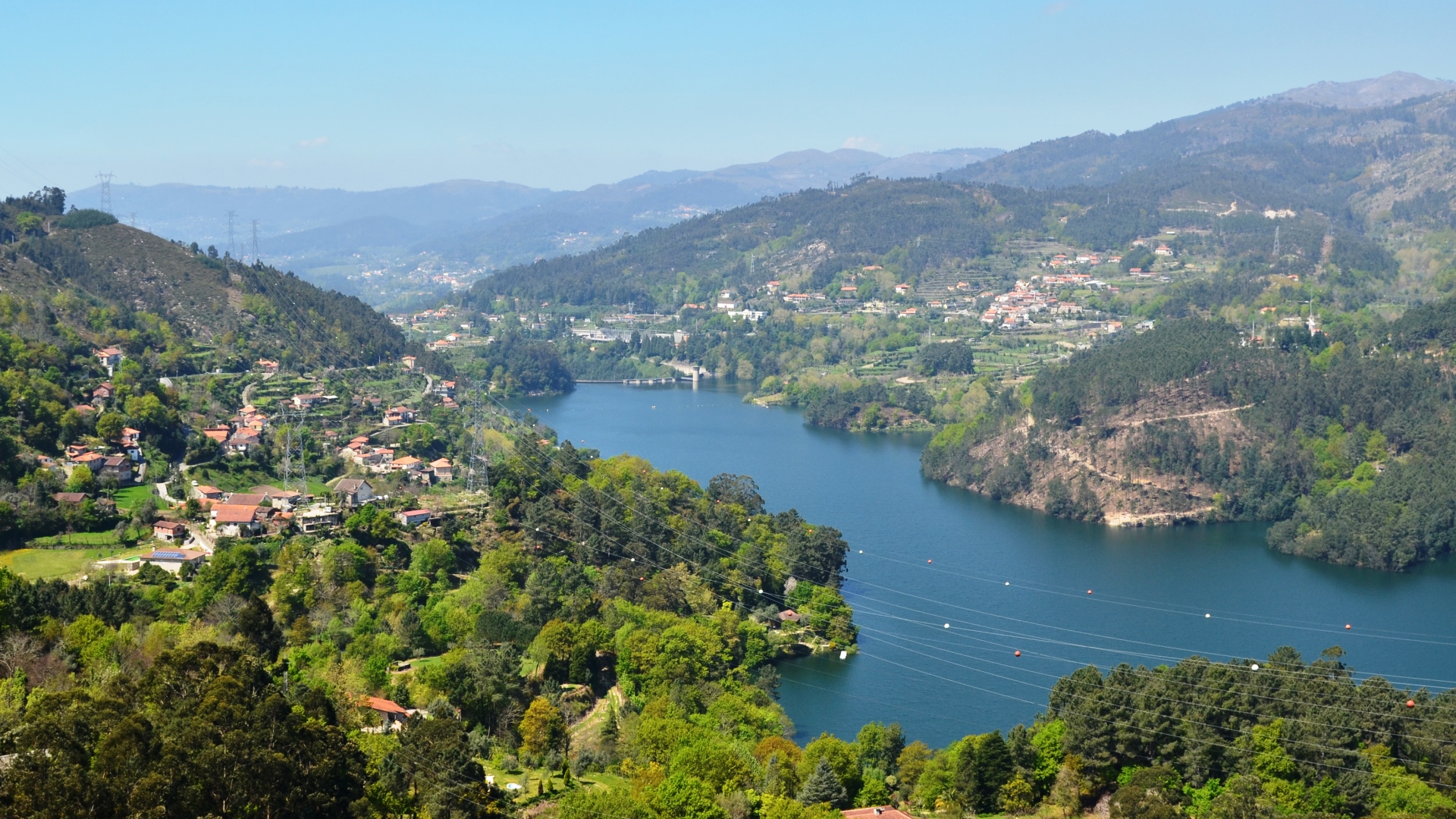
O trilho da Albufeira da Caniçada situa-se no vale do Cávado, na freguesia de Valdosende. Demarca-se pela beleza paisagística protagonizada pelos seus vales encaixados que, na década de 50, permitiram a construção da barragem da Caniçada, na Bacia Hidrográfica do Cávado, para produção de energia elétrica. O muro da barragem em forma de abóbada e com a altura de 76 m, reúne as águas confluentes dos rios Cávado, Gerês e Freitas, dando lugar a uma área navegável de 689ha.
O traçado divide-se, assim, em partes distintas, sendo elas a das aldeias e respetivas hortas e campos de cultivo, a das encostas de matos e a das manchas de folhosas junto às margens da albufeira da Caniçada.
No percurso junto à barragem é possível contemplar a gigantesca obra de arte do autor Vhils, de nome “Visceral”, que pretende incentivar a ligação “entre o ser humano, a paisagem envolvente e o património edificado das grandes estruturas.”
*Este trilho apresenta de momento alguns problemas de limpeza de vegetação. Circule com precaução. Tentaremos ser breves na resolução dos problemas presentes no trilho.
The Albufeira da Caniçada trail is located in the Cávado valley, in the parish of Valdosende. It stands out for its scenic beauty, characterized by its embedded valleys that, in the 50s, allowed the construction of the Caniçada dam, in the Cávado Hydrographic Basin, for the production of electricity. The dome-shaped dam wall, 76 m high, brings together the confluent waters of the Cávado, Gerês and Freitas rivers, giving rise to a navigable area of 689ha.
The route is thus divided into distinct parts, namely those of the villages and respective vegetable gardens and fields, the slopes of scrubland and the patches of hardwoods along the banks of the Caniçada reservoir.
On the route next to the dam, it is possible to contemplate the gigantic work of art by the author Vhils, named “Visceral”, which aims to encourage the connection “between human beings, the surrounding landscape and the built heritage of large structures.”
Mapa de PercursoTrail Map

Video
Galeria de Imagens Photo Gallery